The most beautiful hiking trails
The most beautiful hiking trails
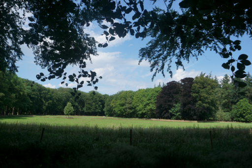
In the vicinity of Kasteel De Vanenburg Putten is known for its natural surroundings, with forest, heathland, beach and meadows. A beautiful environment to enjoy what nature has to offer. From Kasteel De Vanenburg there are many walking routes. A selection of the walking routes we recommend are:
- Around the castle (3 km)
- Estate Oud Groevenbeek (2.5 km to 3 km)
- The Oldenaller Trail (3.5 km, 6 km or 8 km)
- Cultural-historical route (8 km)
- Schovenhorst country estate (2.5 km, 4 km or 8 km)
- Historic Village Walk of Putten (4 km)
We wish you many healthy kilometers!
It is also possible to map out your walking route with the Wandelplanner of Visit Veluwe e.g., with starting location from Kasteel De Vanenburg: Vanenburgerallee 13, 3882 RH Putten:
Around the castle
Route of 3 kilometers
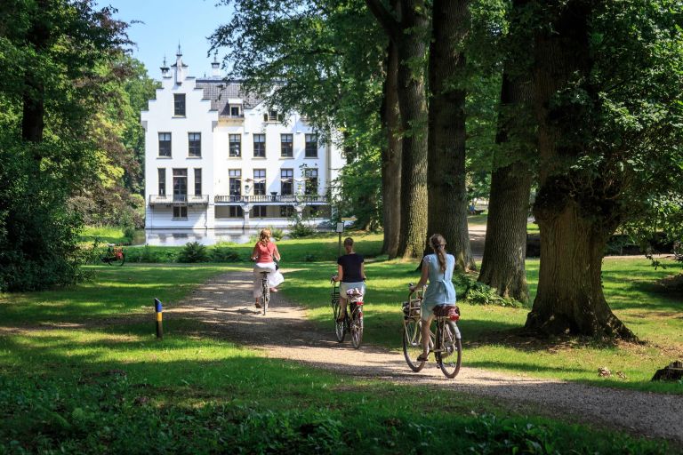
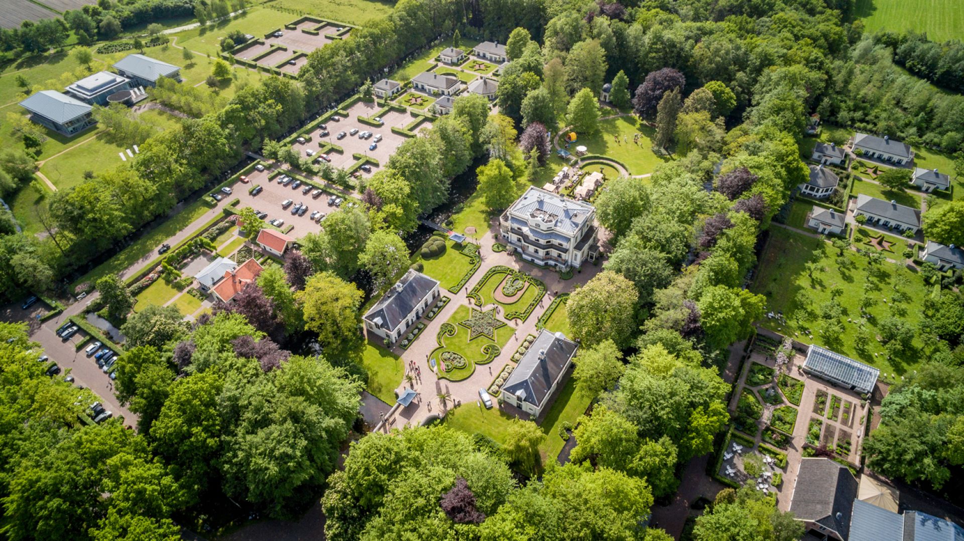
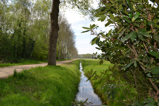
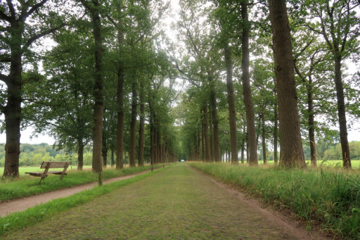
Around Kasteel De Vanenburg runs a beautiful walking path, across the estate and through the meadows. This circuit is about 3 kilometers, perfect for a walk of about 3 quarters of an hour. Also highly recommended for a family with children. It runs right through the farming landscape, so put on your clogs, boots or walking shoes.
This walk should definitely not be missing from your stay at Kasteel De Vanenburg. For those staying in one of our hotel rooms, consider starting the day early with this walk, just enjoy the landscape in peace and quiet. Who knows which special animals you will encounter. You will not be the first to see a deer jumping by. Of course, this can also happen during the day or in the evening.
Even when you have enjoyed lunch on our terrace, a delicious high tea or a culinary dinner, it is nice to stretch your legs and see more of the surroundings.
The walking route 'Rondje Kasteel De Vanenburg'.
The walking route 'Rondje Kasteel De Vanenburg'
-
Start from Kasteel De Vanenburg and go through the main gate and turn right onto the Vanenburgerallee via the bike path. Did-you-know! Here you will walk past monument 'Sarah', commemorating the Jewish labor camp in World War II.
-
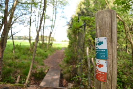
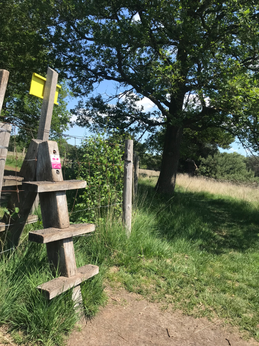
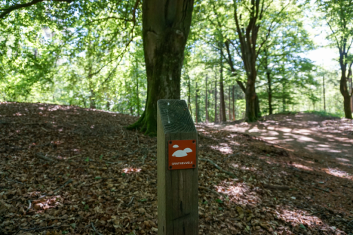
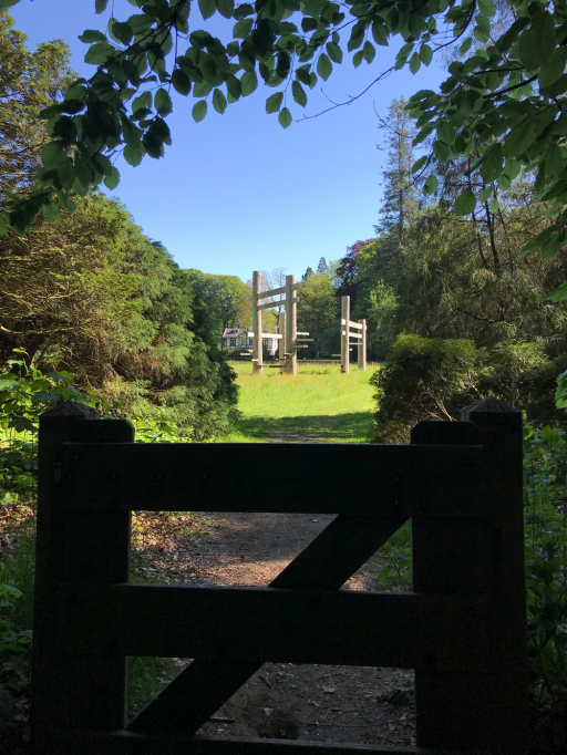
On the Vanenburgerallee, turn right after 350 meters. At the gate there are two different routes, both marked with a color. Go through the gate and follow the orange route.
-
Follow the path with the orange signs.
-
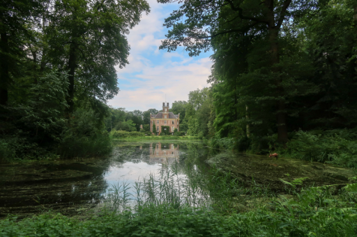
Here you walk behind the estate of Kasteel De Vanenburg. Eventually, by turning right down the dirt road (the Engersteeg) you will arrive back at the intersection at the Vanenburgerallee.Did you know! Do you see the forest pond along the way? Did you know that this was the swimming pool of Putten around 1930? Many inhabitants of Putten learned to swim here.
-
Cross the intersection of the Vanenburgerallee then walk along the Engersteeg towards the picking garden Het Platteland.
-
After about 150 meters you will see a gate on your right, go through it and follow the orange route again. This path is also marked with a pole.
-
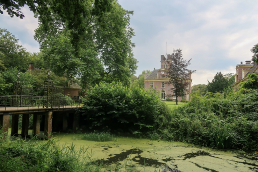
From the pond you have a view of the castle. At the end of this path you will end up opposite Kasteel De Vanenburg.Did you know! The church tower of the Old Church of Putten used to be visible from the castle? Baron and Baroness Van Pallandt had, in connection with the donation of the clockwork of the church tower, the right of view of the church tower. This line of sight has unfortunately been lost due to the arrival of industry. However, this line of sight has been made visible by the construction of the water garden towards the center.
Estate Oud Groevenbeek
The route is about 2.5 to 3 kilometers
From the parking lot of Oud Groevenbeek, there are two hiking trails by Natuurmonumenten, both about 2.5 to 3 km. The routes run through park-like surroundings of Oud Groevenbeek. The yellow route always gives beautiful vistas through the woods at the Oud Groevenbeek mansion. You also walk past the stately old water mill. This looks like a mini castle and was once constructed to provide water for the villa, vegetable garden and grape greenhouse. The route with the red arrows goes along the Groevenbeek Heath and is wheelchair friendly. The routes can also both be combined.
In a short time you walk through a versatile landscape with (purple flowering) heather, forest, the Oud Groevenbeek country house, the old water mill, garden greenhouse, an old avenue of trees, fields, meadows, romantic ponds with rhododendrons and fresh streams.
About Oud Groevenbeek estate
Before 1800, there was still “wasteland” here. From the first farm arose over time an estate. The owner Jacob van Hall laid out avenues and paths. In the 20th century, Oud Groevenbeek was a self-sufficient estate with a manor house, gardener's house, a wash house, grape greenhouse (1910) and water tower (1912). Vegetables and fruit were harvested in the garden. The farm supplied grain, meat and milk. Pure drinking water came from the water tower. The country house is still heated with wood from the surrounding forests and there is home-made wine made from organic greenhouse grapes every year.
The walking route 'Oud Groevenbeek'
You can download the route through the Natuurmonumenten website or through the app Natuur Routes. You can also navigate to the parking place Oud Groevenbeek at the Putterweg / Watervalweg and from here follow the red and/or yellow signs.
The Oldenaller Trail
Choice of a 3.5 km, 6 km or 8 km route
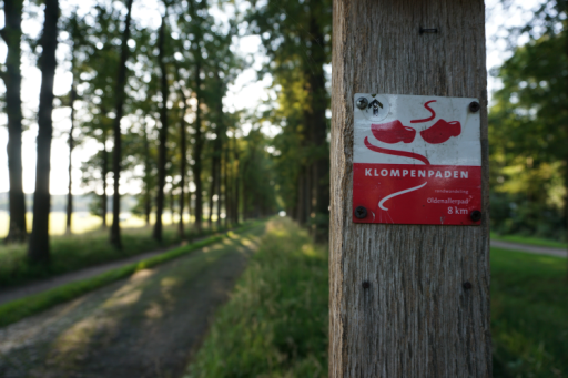
The Oldenallerpad is a beautiful wooden shoes path through the castle forest of the Oldenaller estate and through farmlands of the outskirts of Putten.
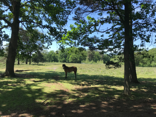
There are few paved roads on this route, which makes it a very surprising and adventurous route. You walk through a beautiful nature reserve with narrow paths through the woods, along babbling brooks and through meadows with horses, sheep, cows and many others animals. During this walk you imagine yourself away from all the hustle and bustle, you will hear the occasional sound of croaking frogs or other animals. It is every time again surprising where you end up, so you step over a fence, where you walk on the heath between the sheep, or you can visit the rest and information point in a refurbished sheepfold of Natuurmonumenten.
Did you know: Oldenaller and Vanenburg have a history with each other? In the early 20th century, the Van Goltstein family owned and occupied both the Vanenburg and Oldenaller. (Source: Gelders Archief)
The route 'Klompenpad Oldenallerpad'.
- Start from the parking lot at Waterweg 1 in Putten or via De Zoete Inval, Broekermolenweg 5. This is about 4 kilometers from Kasteel De Vanenburg.
- From here, follow the red colored 'clogs' signs.
- You can choose the entire 8 kilometer route or the shortened 3, 5 or 6 kilometer route. They are all recommended!
Cultural history route
8 kilometers
This route is a bit further from Kasteel De Vanenburg (9 km), but the way there is already a beautiful tourist car route through the forests of Ermelo and Putten. It is definitely recommended for those who want to take a long hike.
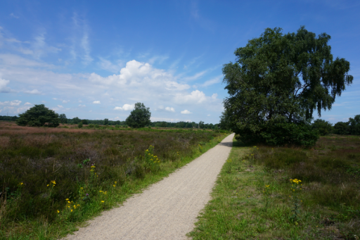
In about 2 hours you will walk past many historical sites, various forest areas and across the vast Ermelosche heathland. For example, you will pass Grave Mounds, a hiding place from World War II and walk near the Solsche gat, a mysterious place where an exciting story circulates; that the monastery of Putten sank here. Continue reading this story: Veluwse legend on Ermelo Buitenleven.
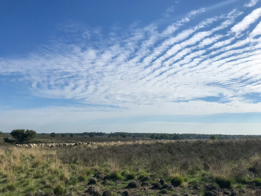
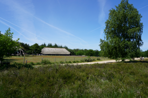
Once you arrive at the Ermelosche heath through the woods, you can also visit the visitor center of the Schaapskooi. On this heath, the shepherd walks almost daily with the flock of about 300 sheep. Continue the route across the moors and who knows, you may meet them along the way. This part of the route parallels the Roman Marks Camp walking trail. Through the heath, you walk through the forest on winding paths back to the parking lot of Boshuis Drie.
The cultural historical route
- Start from the parking lot of Boshuis Drie (Sprielderweg 205 in Ermelo).
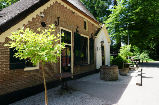
- The first sign can be somewhat difficult to find. If you follow Sprielderweg from the restaurant on the left and go straight at the intersection, you’ll see a purple-red sign on the right after approximately 200 to 300 meters.
- From this point, the trail is well-marked. Follow these purple/pink signs.
- Enjoy the beautiful nature!
Schovenhorst country estate
Choice of 2.5 km, 4 km or 8 km
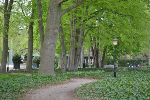
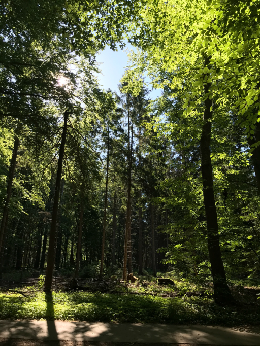
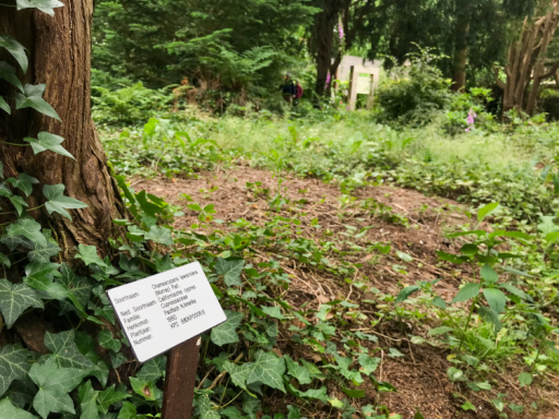
Schovenhorst estate is famous for its arboretum gardens. These were created in the 19th and 20th centuries from nursery and forestry experiments with conifers.
There are 3 different walking routes in this wooded area of Putten, namely:
- Tree garden walk of 2.5 kilometers (45 minutes). Stroll through four of the five unique tree gardens. In the Little and Big Pinetum, you'll find only conifers, while in the Arboretum and Josina Park, deciduous trees grow alongside conifers.
- Forest walk of 4 kilometers (1 hour). Walk through the woods of Schovenhorst estate on the south side of Garderenseweg, along winding paths, vistas and unusual conifers. The route also passes through four arboretums: Klein Pinetum, Josina Park, Driecontinentenbos and the Arboretum.
- Cultural history route of 8 km (2.5 hours). This walk covers a large part of the Schovenhorst estate: through the woods, tree gardens, past buildings and public facilities and reminders of the past, such as burial mounds, trade routes from the Middle Ages and works of art.
The route
Start from the parking lot of Landgoed Schovenhorst (address: Nieuwe Prinsenweg 3881, 3881 NC Putten), this is about a 7 kilometer drive from Kasteel De Vanenburg. From this starting point, follow the following signs of a walking route of your choice:
- Green signs (The Tree Garden Walk of 2.5 kilometers).
- Yellow signs (The Woodland Walk of 4 kilometers) for a varied forest.
- Red signs (The cultural-historical route of 8 kilometers).
The forest tower of Putten
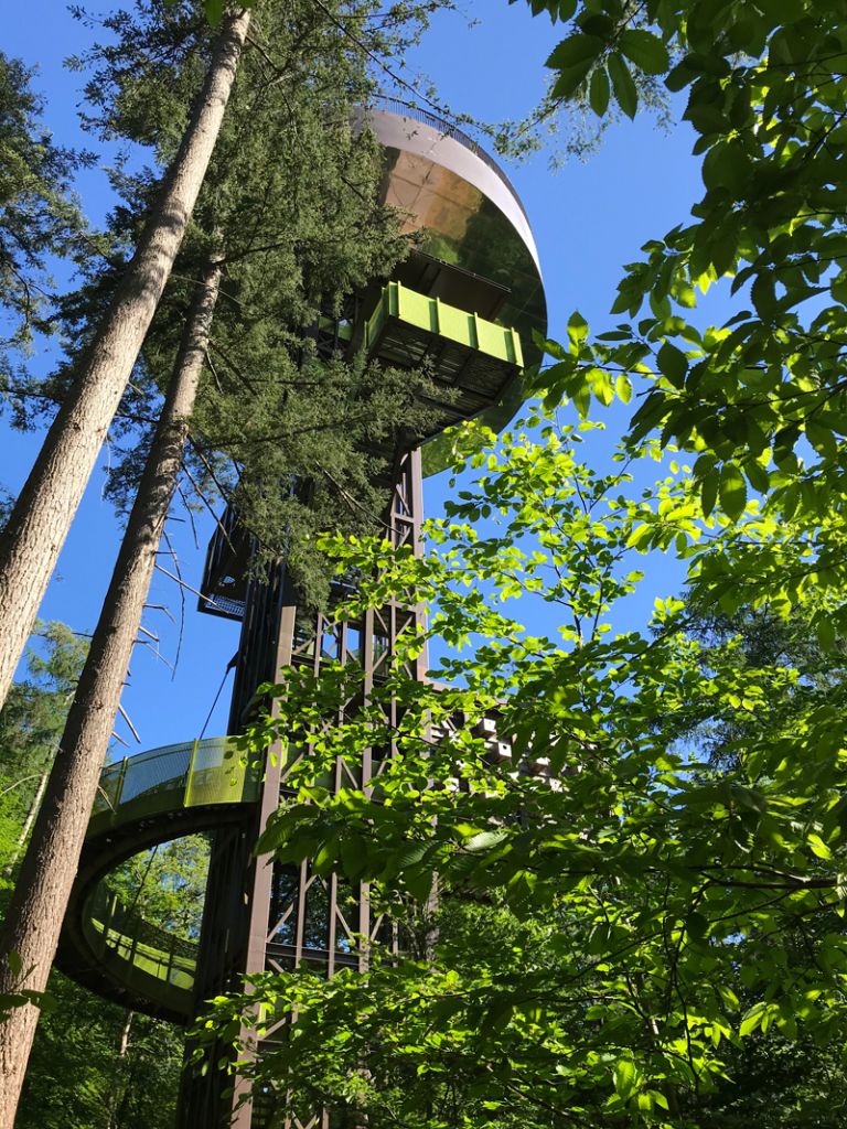
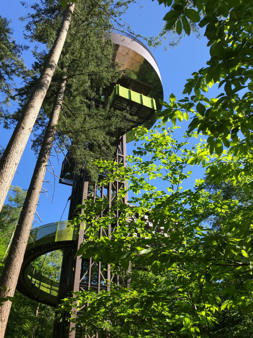
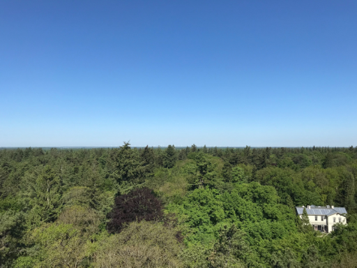
A must on this estate is climbing the forest tower of Putten. This tower stands 40 meters tall and has 235 steps. It offers more than just a view — there’s plenty to discover in and around the tower. In clear weather you can even see the Veluwemeer, Noordoostpolder and Amersfoort!
The center of gravity of the Netherlands
If you take a walk around the Schovenhorst estate, take a moment to visit the center of gravity of the Netherlands. Frans Storbeck calculated the center of gravity of the Netherlands in 1984. He arrived with his calculations at the kilometer coordinates 472.7 north and 171.8 east, located within the territory of the municipality of Putten.In 1984, at the location of the center of gravity, a stone with a ring was placed with the text “Lift the Netherlands by this ring and no one will notice”.
Historic village walk of Putten
4 kilometers
Putten has a rich history. While walking the Historic Village Walk you will pass monumental buildings, historic buildings and locations that remind you of the raid of October 1944. The Puttens Historisch Genootschap provides a lot of background information with this walking route and informs about the origins of Putten, building styles and street names.
The walking route
- The walk starts from the VVV office (Kerkplein 15, 3881 BH Putten ).The route passes by beautiful sights in Putten. Highlights include the stylish Roman Catholic Church of Putten, the herb garden at Langkamperpad, the war monument "The Woman of Putten," and the October '44 Memory Museum. You’ll also see the old mill, charming village streets with various shops, the village pump, and the historic Old Church of Putten.The route ends at the tourist office.
Can't get enough of this route?
- The route booklet with background information, such as historical stories with images of each point in the walk, is available at the Putten tourist office. For children, they also have a fun scavenger hunt in the center of Putten at the VVV office.
-
Tip: Combine this route with a visit to Putten's shopping center. You will walk along the cozy and versatile stores that our village has to offer you.
-
For the real hiking enthusiast, you can also start this walking route from Kasteel De Vanenburg. Follow the clogging path 'Norderpad' (blue-green signs) from Kasteel De Vanenburg, where you walk halfway along the church square of Putten. Here you can continue the Historical Route via the starting point at the tourist office.


-12794.jpg?width=512&height=0&mode=crop&format=png&signature=3d8218bdf9f56a3f68c3f38e263c64ea0c551db9)
